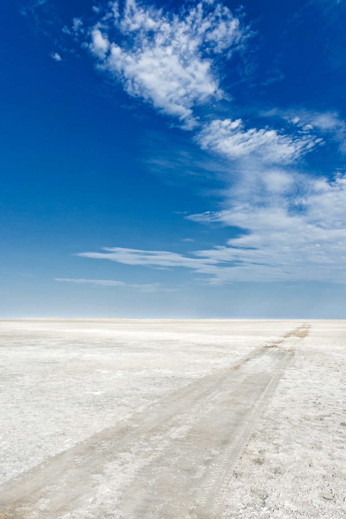
You see the giant vastness of the Makgadikgadi Salt Pan. Only a few clouds are scattered in the blue sky leading the way of the vehicle tracks. The stream of clouds is meeting at the same point at the horizon with the tracks. They are creating leading lines through the photograph to guide the viewer’s eye. The crisp white pan matches nearly with the white clouds.
Makgadikgadi Salt Pan Horizon & Clouds
The Makgadikgadi Salt Pan is the largest expanse of salt pan terrain in the world. Technically, it is not one large pan but consists of many flat pans forming together. The largest of which is Sua, Nwetwe, and Nxai flat pan. The gorgeous Makgadikgadi Pans were once part of the old Makgadikgadi lake.
It was an ancient lake that we believe in having covered an area of 80,000 km². It started drying up around 10,000 years ago, leaving behind a vast salt-encrusted pan. Unbelievably, during the dry season, when the flat pan is dehydrated, it hosts the world’s most massive zebra migration. The wet season is from January to march. The salt pans then transform into lush wetlands. A significant contrast, indeed.
It is also home to the massive flamingo migration. The first satellite tracking of flamingos in southern Africa revealed that these bright pink birds migrate from many places in Southern Africa to Makgadikgadi for breeding.
Please explore more landscapes like the Makgadikgadi Pans in our landscape photography portfolio. All our landscape pictures are for sale online on our website. Explore our photo print materials.
This photograph is available to be purchased as a print. We offer our prints as unmounted fine art prints and framed prints that are ready-to-hang on your wall out of the box. Another option is that it can be licensed for personal or commercial use. Just click the add_shopping_cart icon left-hand side above the photo to select your choice.
For more information about the various types of prints we offer to purchase, please visit our Purchasing a print FAQ page.
Our Photo Licensing FAQ page explains the license types and helps you to choose the right license for your needs.
Before making a purchase, please read our Terms & Conditions page.

Jacques –
I wonder where the tracks lead
Anette Mossbacher –
To the other side of the salt pan. Thanks so much, Jacques.