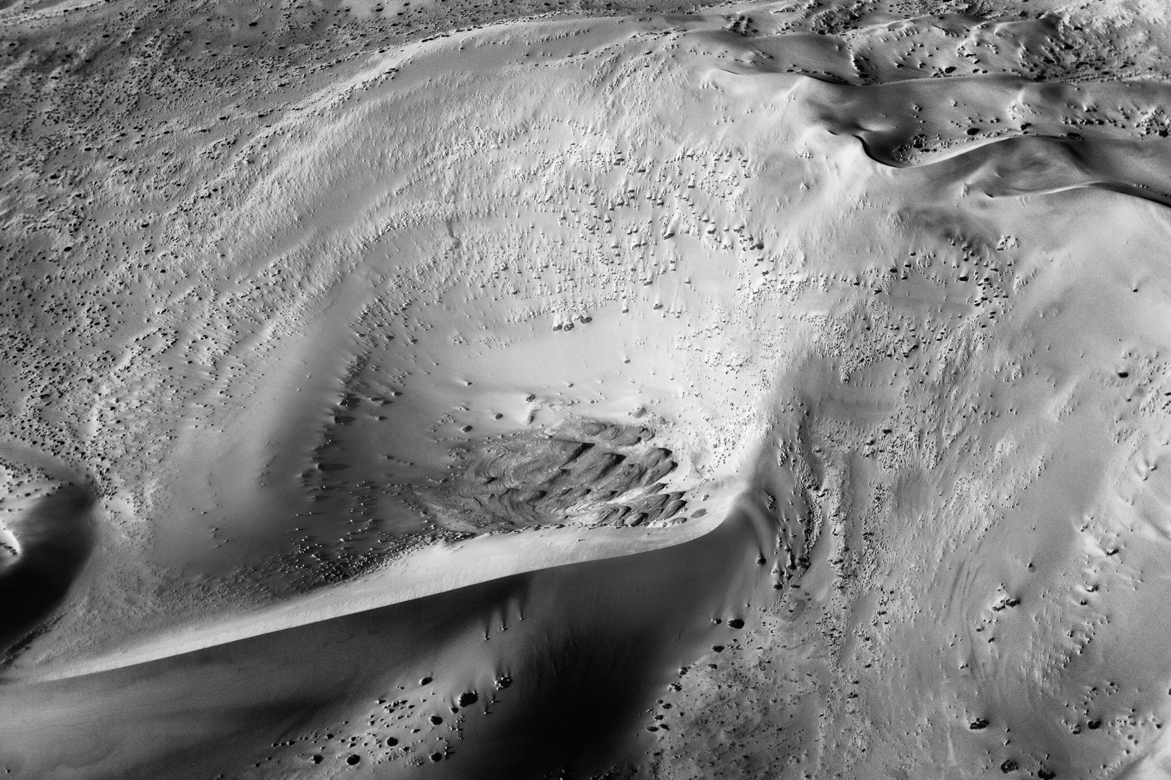
The arid Namib desert is a barren place, as you can see in that areal view photo. A large dune forms around a massive ‘crater.’ On the bottom of that crater, you see rock formations. Around this crater forms the sand the enormous dune. Also, plants grow along the steep hills of the dunes.
Namib Desert Aerial View
The Namib Desert is a coastal land stretching for 1,900 km along the Atlantic coast of Africa from Namibia in Angola, across to the Olifants River in the Western Cape province of South Africa. The name of this arid desert comes from the Nama language. It implies that it is “an area where there is nothing.”
The Namib Desert is quite inhabitable, and not many people live here. Except for a few scattered towns where some live. A significant amount of the southern part of the desert consists of sand. This sand has a color that is yellow-grey near the coast. However, the more inland you go, the redder the sand becomes. The change in color is due to the rivers that flow inland but never quite reach the sea.
As you can see from the Namib desert areal view photograph, the dunes can get impressive. One dune can have a length of 16 – 32 km / 10 – 20 mi. They also can reach heights from 60 – 240 meters / 196 – 787 feet. It is an incredible sight to behold. Especially from a little plane, so you can see the true vastness of this barren landscape. The average annual precipitation is generally about 13 mm at the coast, increasing inland until it reaches 51 mm.
Please discover more African landscapes and nature photographs like this and also explore wild and rare animals. In our nature photography portfolios, you can purchase a personal license and fine art prints as wall art online. In our black and white photography theme, you can explore more monochrome images.
This photograph is available to be purchased as a print. We offer our prints as unmounted fine art prints and framed prints that are ready-to-hang on your wall out of the box. Another option is that it can be licensed for personal or commercial use. Just click the add_shopping_cart icon left-hand side above the photo to select your choice.
For more information about the various types of prints we offer to purchase, please visit our Purchasing a print FAQ page.
Our Photo Licensing FAQ page explains the license types and helps you to choose the right license for your needs.
Before making a purchase, please read our Terms & Conditions page.

Steven –
This B&W landscape photo looks like a massive crater in the earth. Amazing
Anette Mossbacher –
Flying over the desert in Namibia is fantastic. You will experience the Sea of Sand differently. 😀